

Distance – 9.5 km | Difficulty – Easy to Moderate | Duration – 3-4 hours | Drive – 7-8 km from Mall road Mussoorie | Best Months – Oct to May
Attractions:
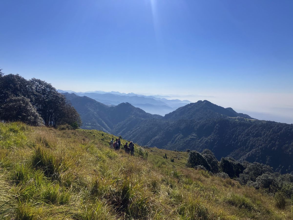
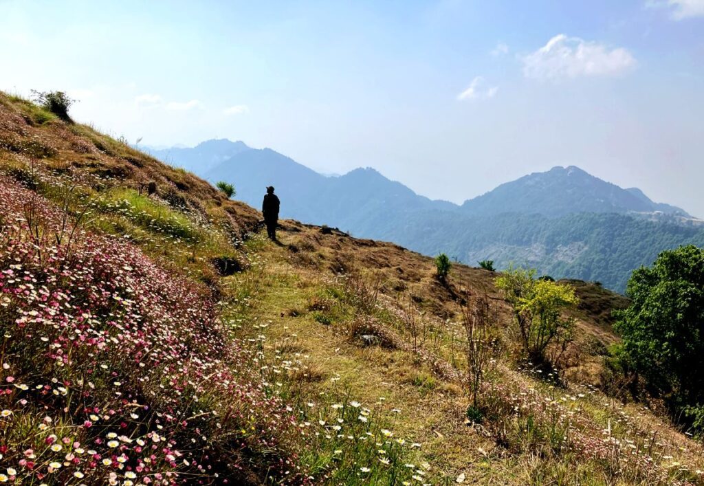
Cloud’s end to Jwala Devi hike is also know as benog hill, this Beautiful hiking trail is surrounded by primary oak forest and meadows covered with flowers and lush green grasses between April to July, outstanding 360° view of Mountains including Garhwal Himalayas (subject to the weather conditions of the day best time Oct. to Feb)
About the Hike
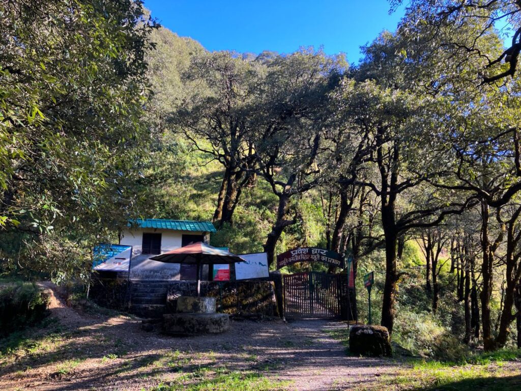
The starting point of ‘Cloud’s end to Jwala hike’ is known as Cloud’s End, nestled at an elevation of 6955 ft (2120 meters), located just 8 km from Mussoorie. The hike begins at ‘Cloud’s End’ with a descent of around 427 ft (130 meters), measuring 1.20 km through Cloud’s End’s private forest, which takes approximately 20 minutes to reach the Sanctuary Entry Gate called Andheri. This is also a registration and checking point of the forest department, as it is a protected forest that comes under the Mussoorie Wildlife Sanctuary. Entry fees will also be charged here. This is a beautiful location under the giant oak trees and a perfect point to take a break.
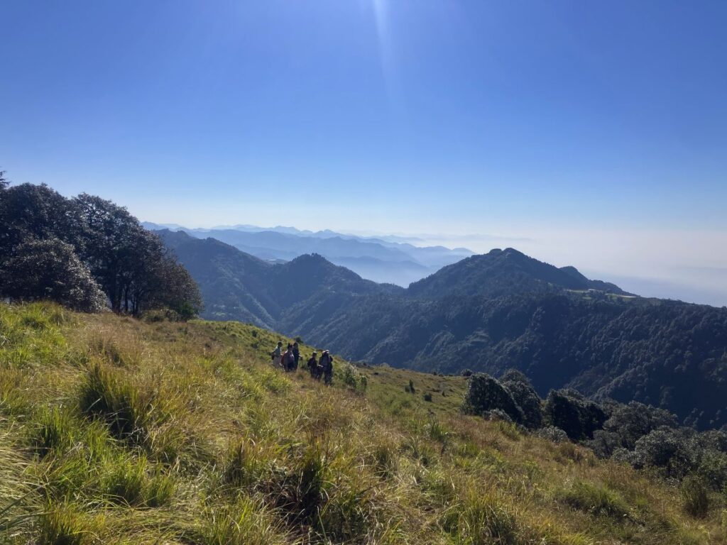
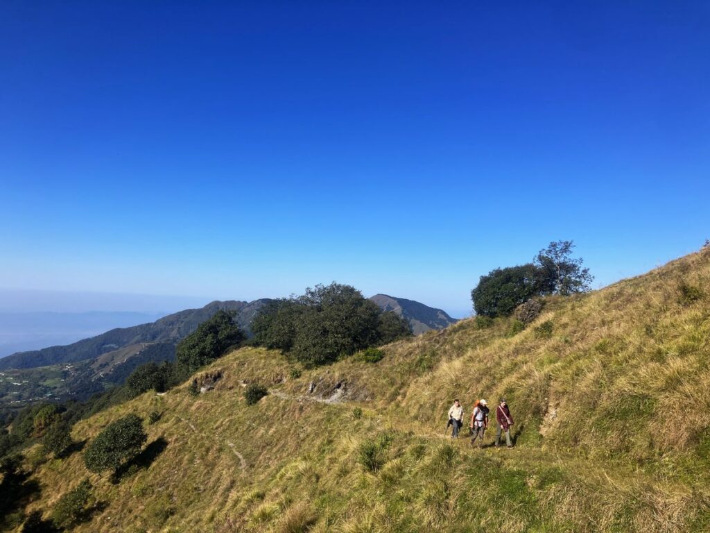
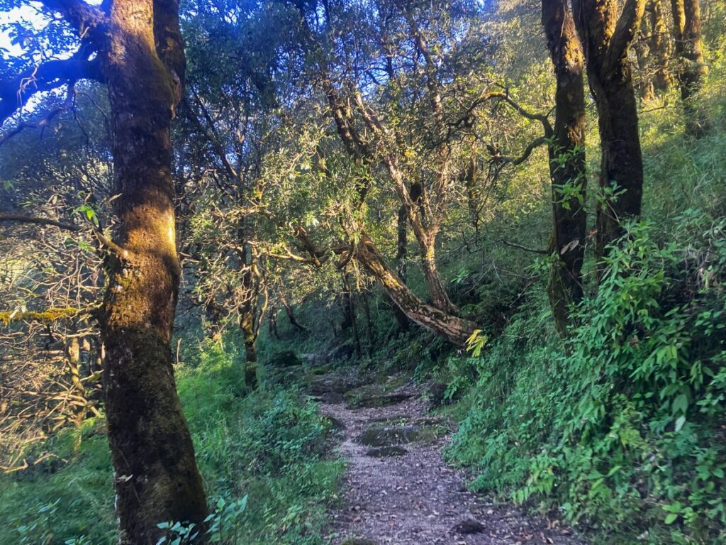
The hike proceeds with a gradual climb of 3.5 km to reach the top, taking about 1.5 to 2 hours. The trail is surrounded by beautiful Himalayan Oak Forest, amazing meadows covered with flowers and grasses, and glimpses of the Greater Himalayas in the North. However, visibility will depend upon the weather. This landscape is lush green with cloud views in the months of July-August. It’s advisable to wear proper shoes with leech socks, as the trails are also full of leeches.
During the spring, between March-April, you see many beautiful Himalayan birds while they are singing their songs. Also, Rhododendron Arboreum trees will be full of flowers.
October-February is the best season for hiking, as you can surely witness the outstanding 360° view from the top. The Great Himalayas of Uttarakhand look magnificent from the watchtower just below the summit.
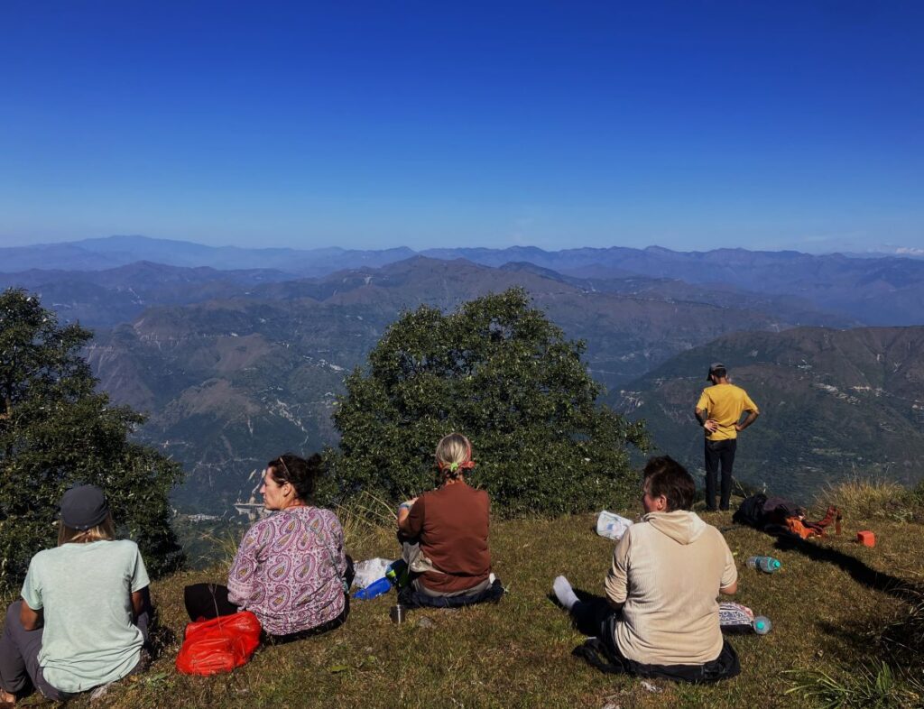
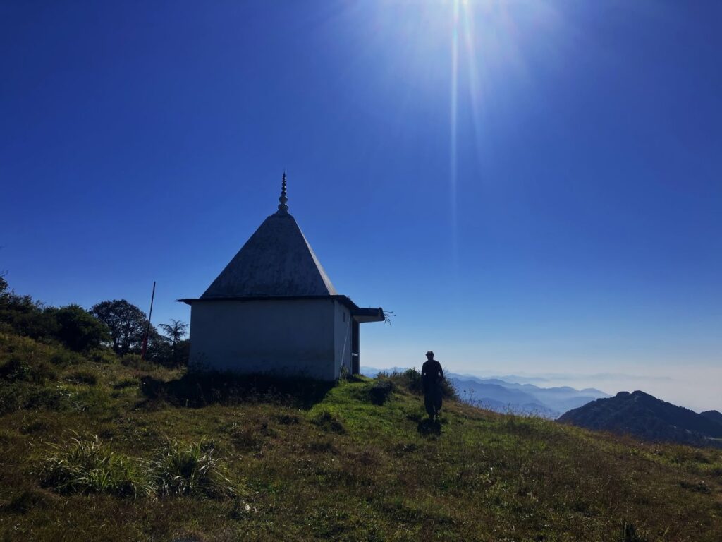
The top, nestled at the elevation of 7414 feet (2260 meters), is a perfect place to enjoy the surroundings. It’s also a great place for meditation, yoga, and photos if you wish to.
Following the ridge line till the watchtower and taking another forest trail will take around 40 minutes to reach back to the forest entry gate by making a circle.
Before you plan to go for these hikes, please make sure you have the following essentials for a safe and comfortable journey. In case you don’t have any of these things, please let us know in advance so we can arrange them for you.
- Hiking Boots (or Trail Running Shoes)
- Full Sleeves Clothing & Warm Jacket
- Sunglasses & Sun-cap
- Personal Medication (prescribed by doctors)
- Optional Items: Hiking Poles | Binoculars | Camera
Guided Hike
Our team has curated a guided experience of this beautiful mountain hike. For bookings, feel free to reach out to us.
Contact numbers: +91 7900872332, +91 8171264710
Email: fromhimalay@gmail.com / info@fromhimalay.com
Our team always ensures you take a bunch of amazing memories along with great information from the hike.
For sustainable tourism and to preserve our environment and resources for the future, we must follow these guidelines:
- Alcohol consumption is not allowed during the hike.
- Smoking is strictly prohibited during the hikes.
- No loud music or shouting.
- Please maintain the serenity of the surroundings; it’s better to hear nature.
- Please don’t pick/pluck anything from the forest.
- Kindly show respect for local culture and rituals observed along the travel.
- Let’s ensure a harmonious and respectful experience for other people involved in the journey.
Picture from the previous trips



I am staying at Shadow Barn this week and am keen to do this and some other hikes.